


 |
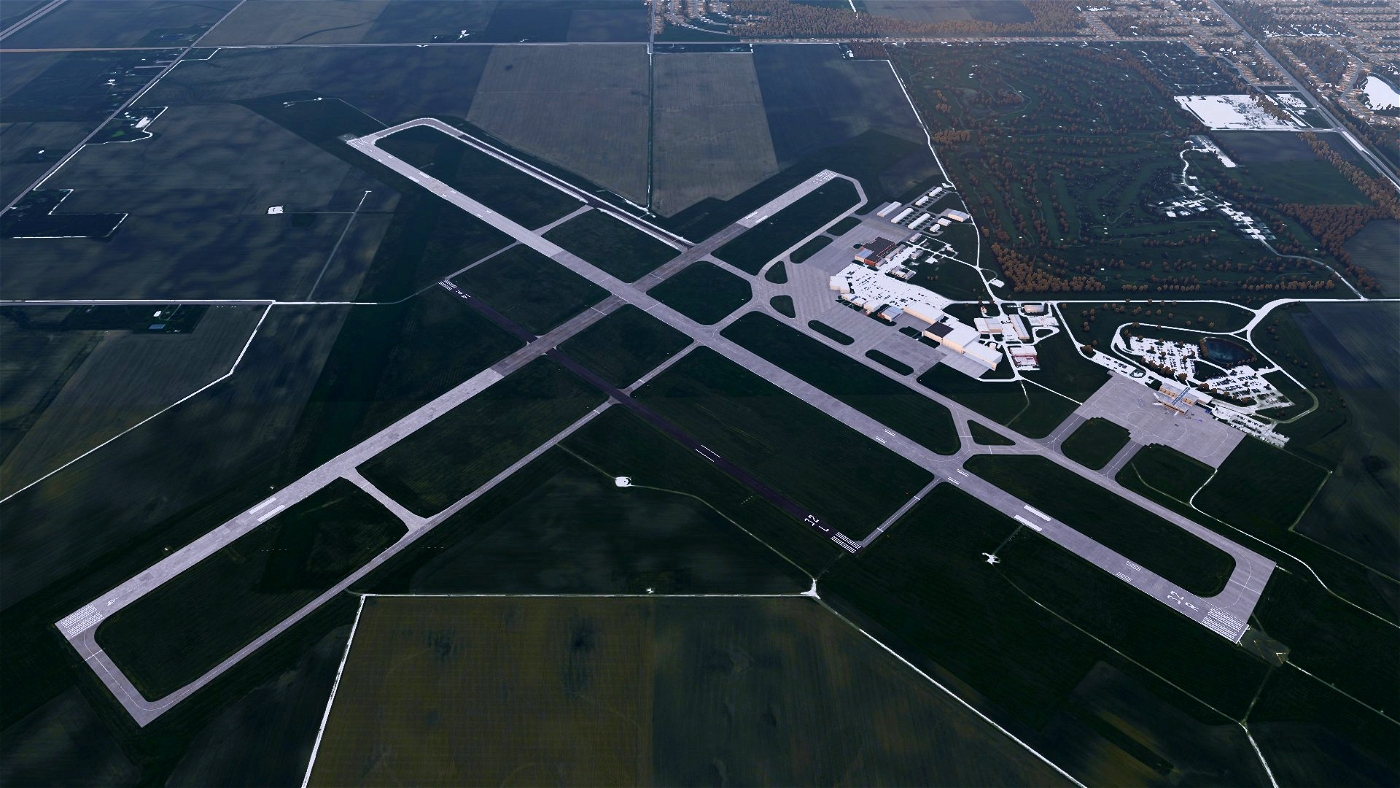
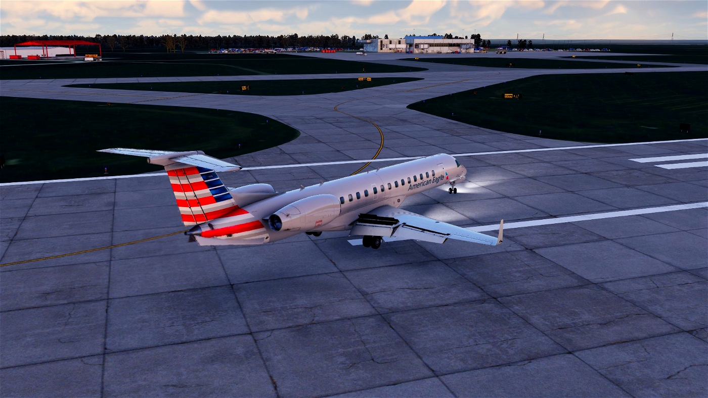
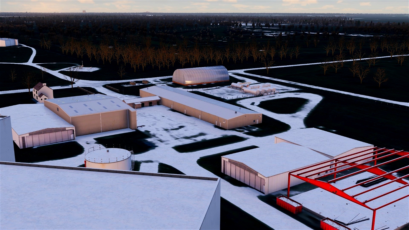
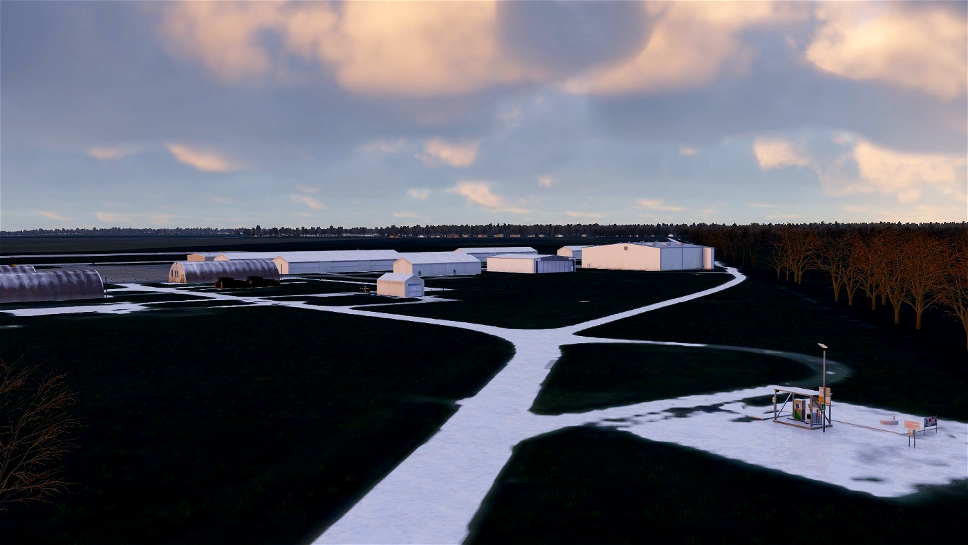
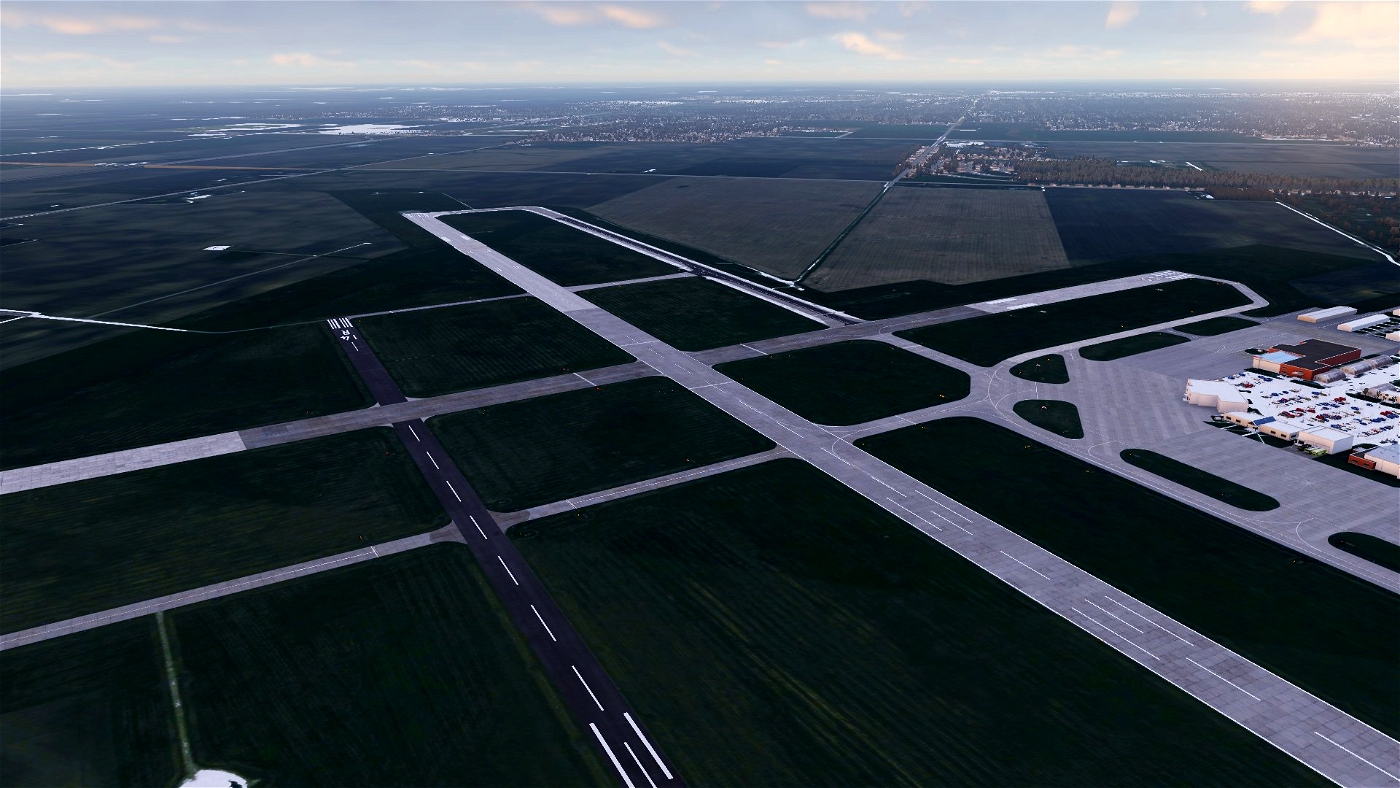
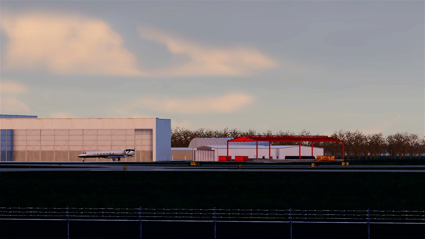
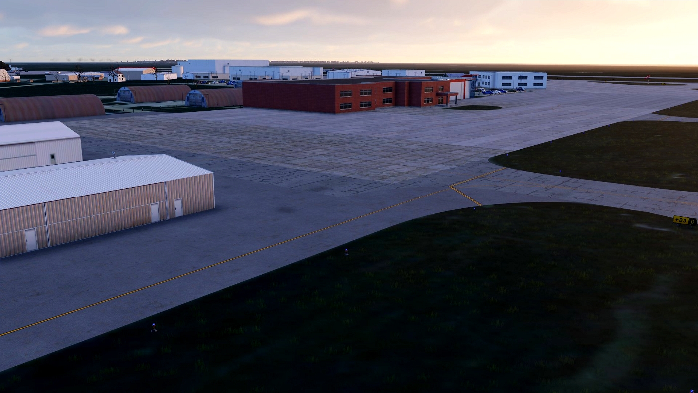
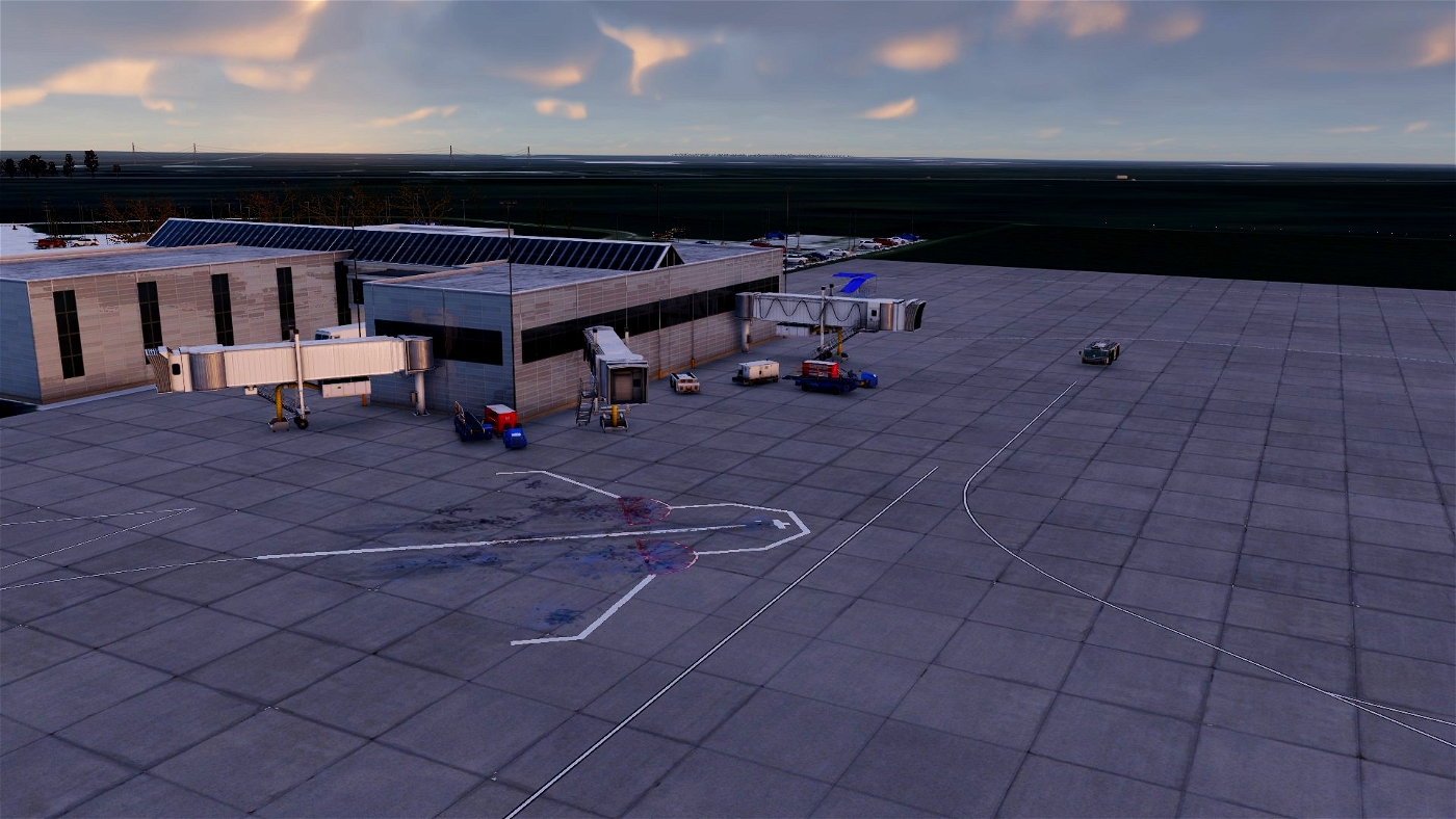
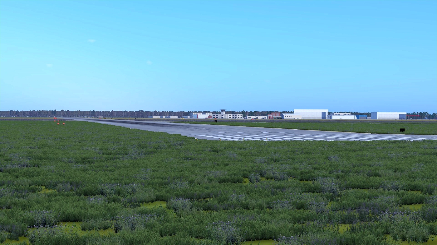
| This is the best rendition of the Champaign University of Illinois/Willard Airport I have spent weeks working on this project and there is more to come custom 3 signs and objects will be included soon this airport services many people across northern Illinois from airline operation to charter and flight traning this airport has it all. It is serviced by Envoy air on there erj145 operating daily to Ohare and Forth Worth and Commutair operating there erj145xr to Ohare and Dulles seasonally. There are 3 runways which out of the bunch 32R/14L is the longest at 8101 Ft and the second longest 22/4 is 6501 Ft and last but not least the short and narrow 32L/14R at 3816 Ft long and only 75 Ft wide. This is a great airport to fly into in the midwestern area with all of the amentities you need so I hope you enjoy and have a safe flight where ever your travels may take you!
NOTE!!!
MOST LIBS FROM MASTER LIB LIST ARE REQUIRED
Features
ZL19 ORTHOS
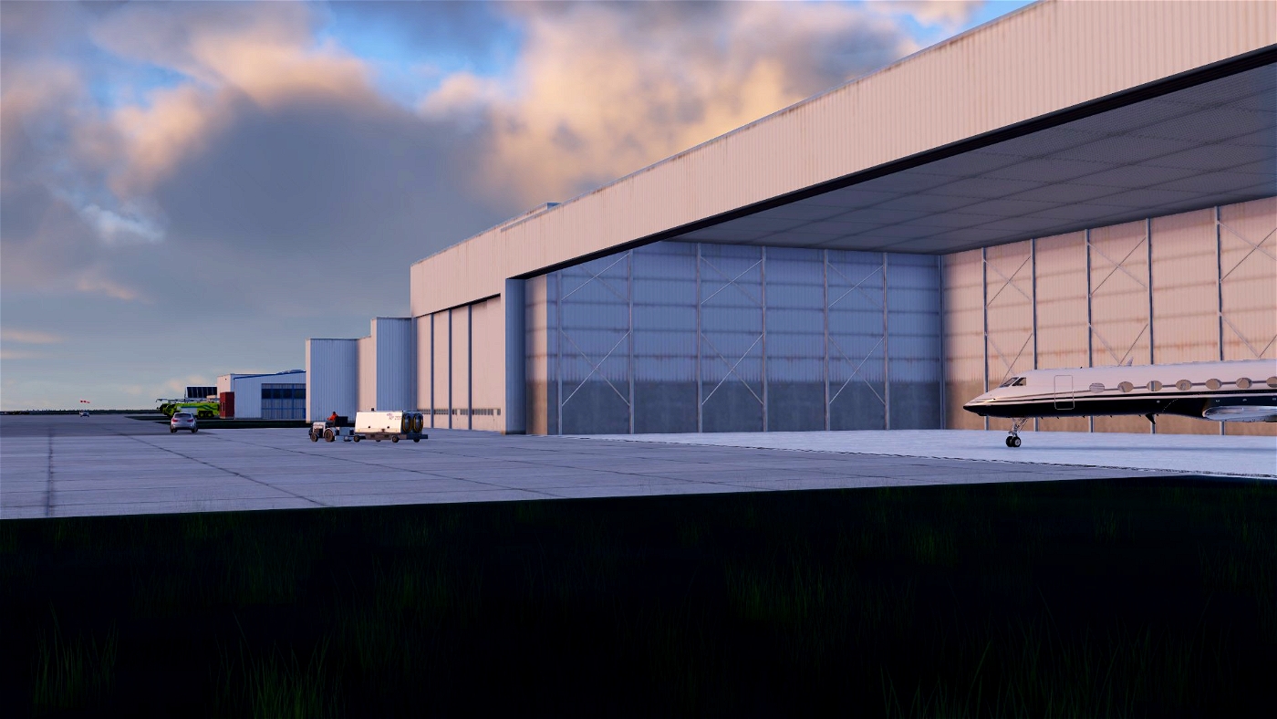
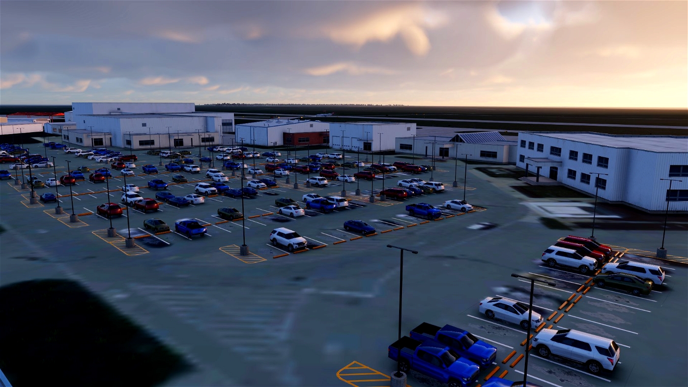
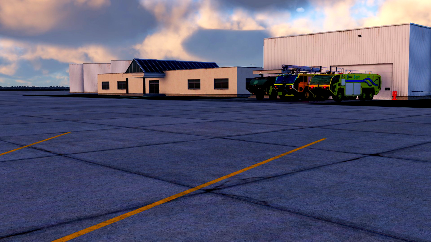
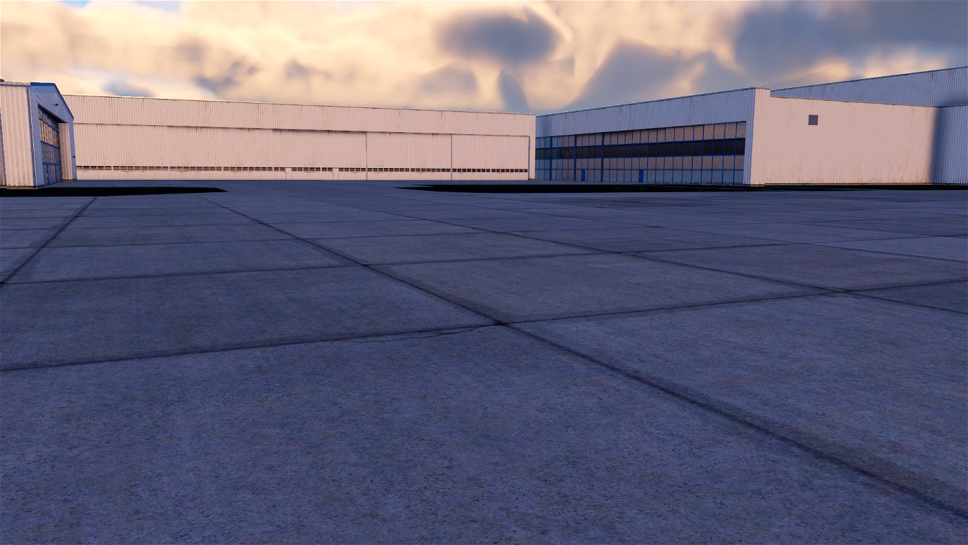
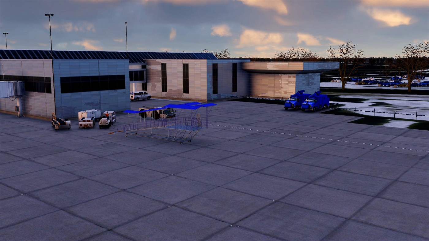
CUSTOM 3D MODELS
SAM JETWAYS
3D VEGITATION
1 TO 1 EXACT REPLICA OF THE AIRPORT

witiko
"the best rendition of the Champaign University of Illinois/Willard Airport" and not even a Tower?
REDNECK23 4 month(s) ago
I am just realizing that in the revamped version I left it out im less busy now and will get to fixing this right away