


 |
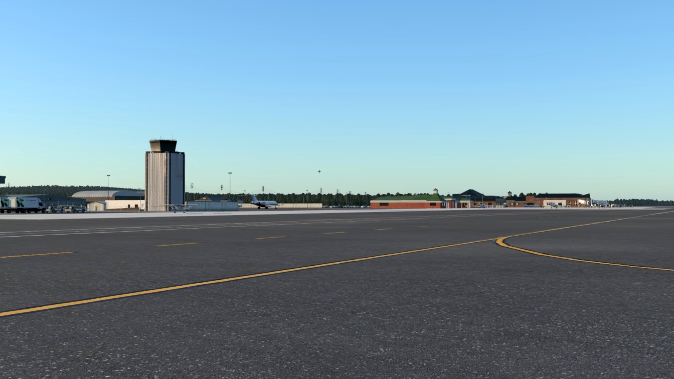
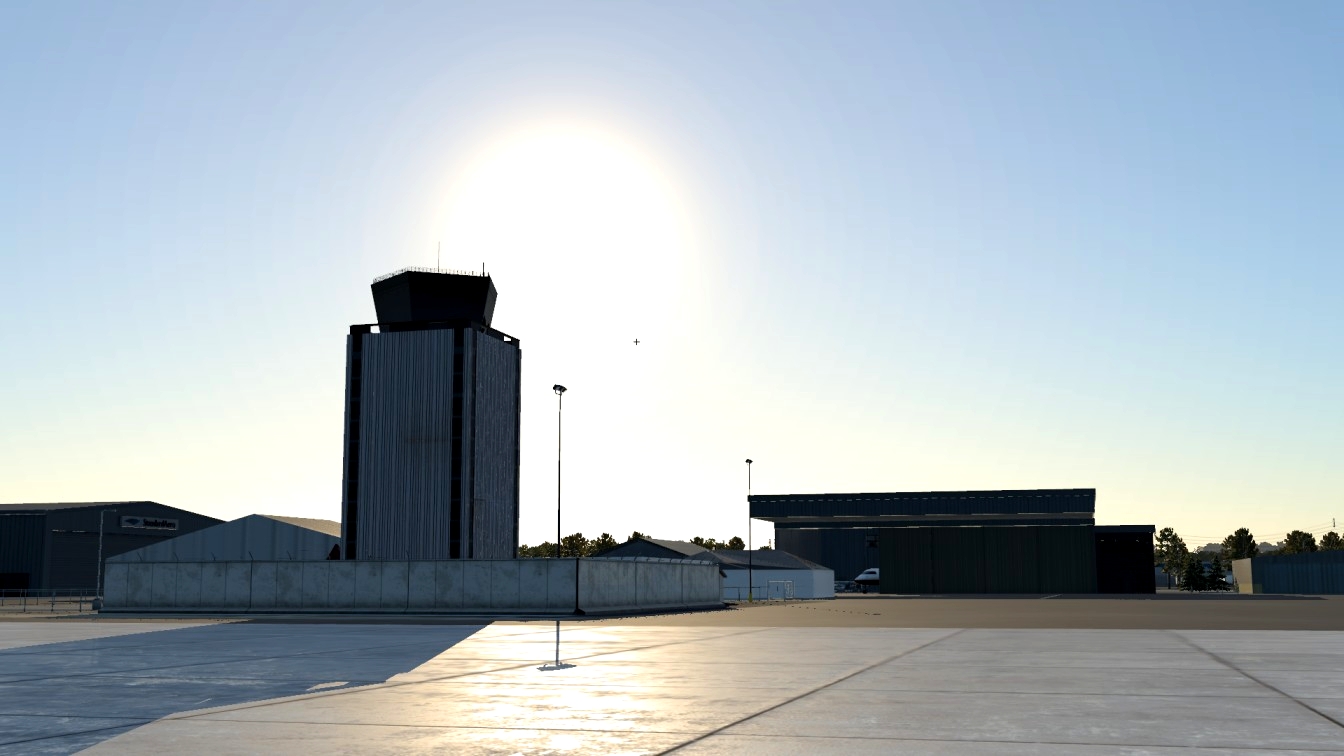
| Welcome to Augusta Regional Airport!
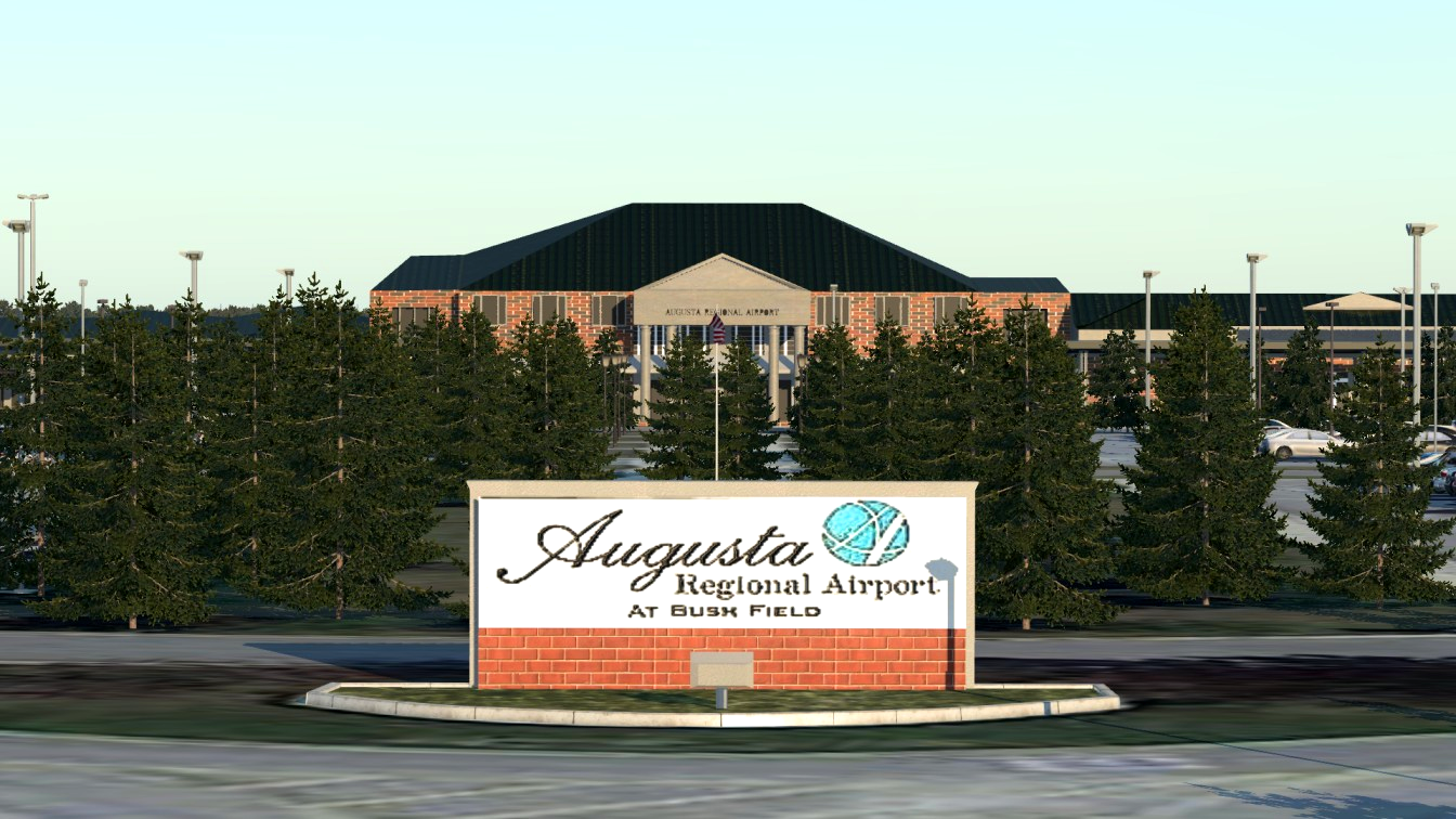
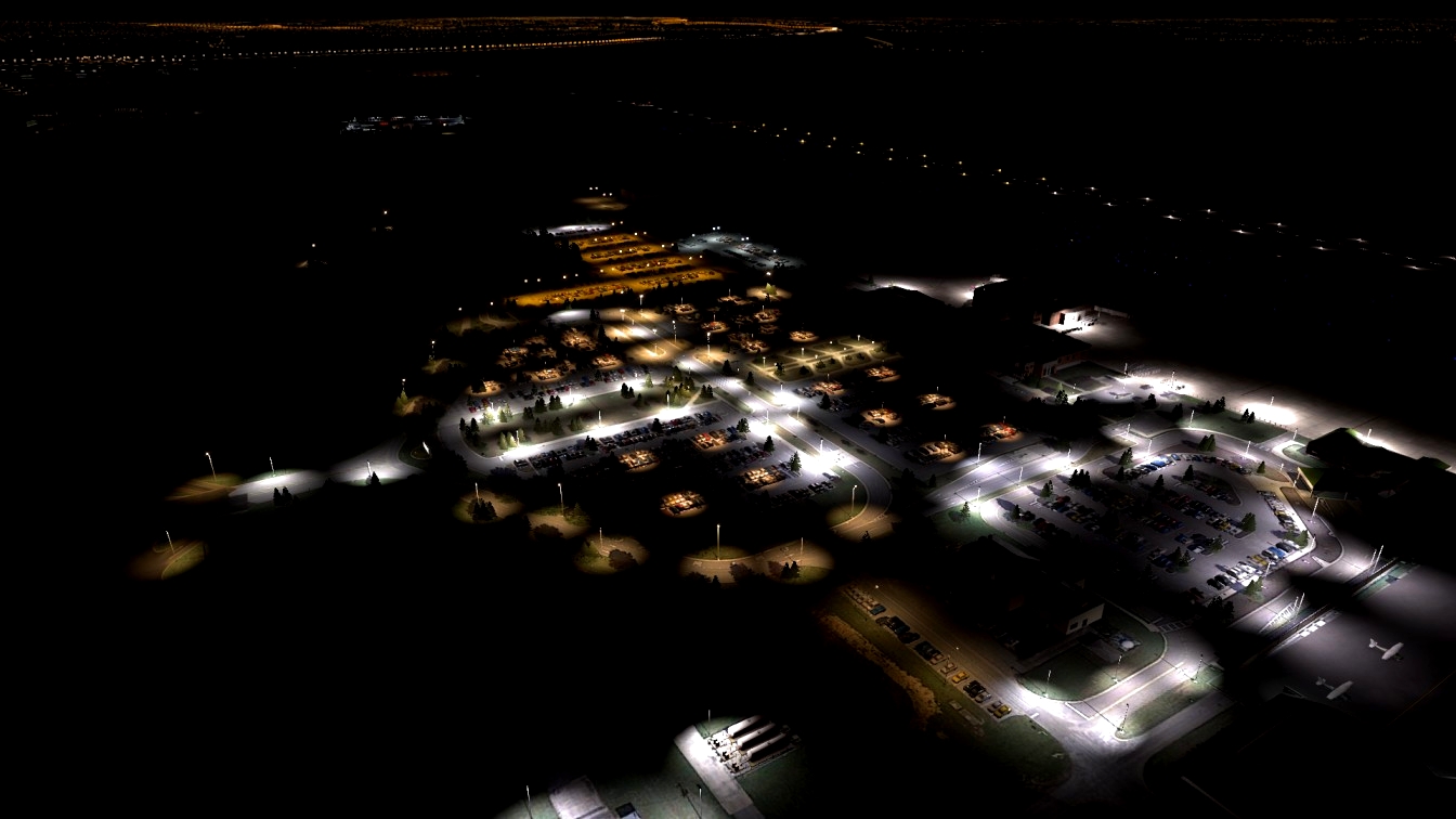
Welcome to KAGS in Augusta, GA! TearWearDesigns is proud to bring you KAGS to your X-Plane 12 environment! Augusta regional brings you many opportunities to fly. Flying from a Cessna 150 all the way to a CRJ from ATL. It’s all up to you what you do.
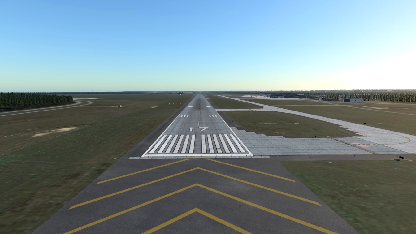
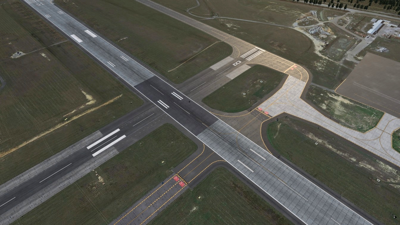
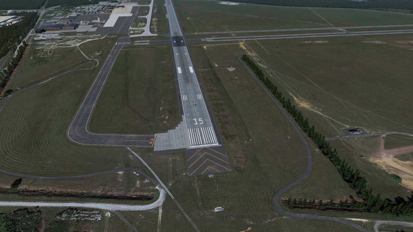
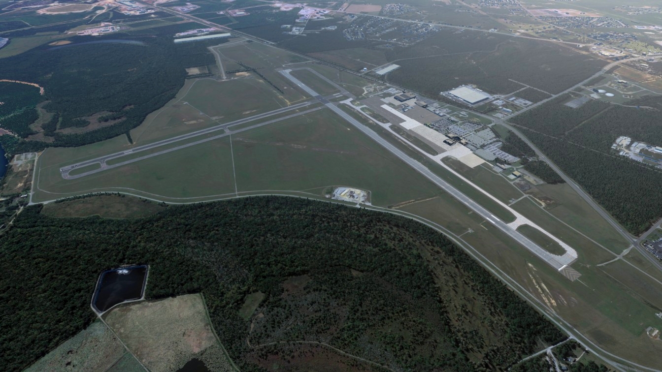
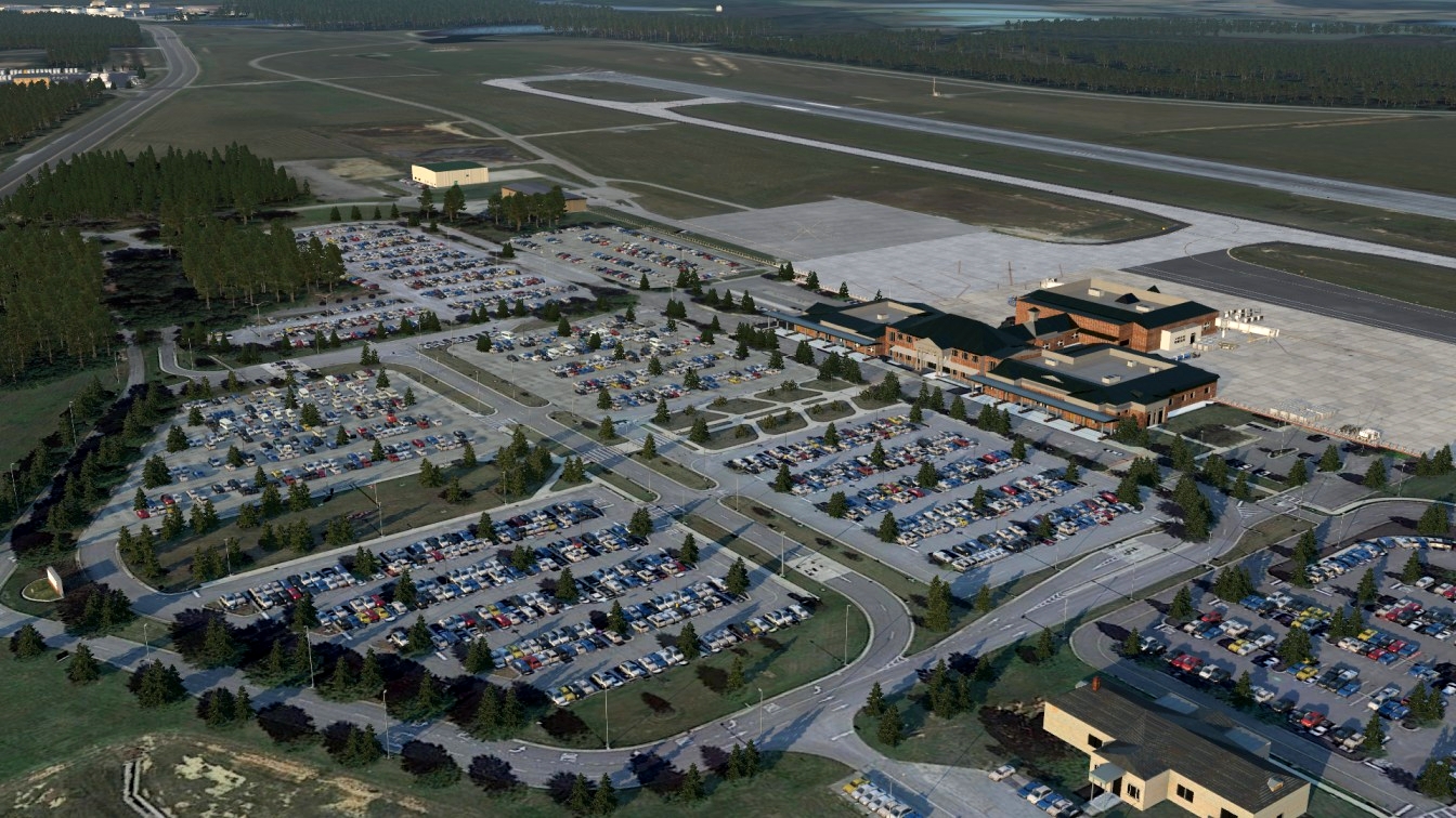
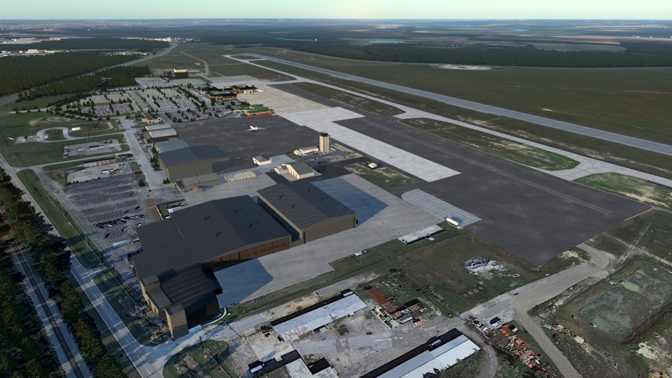
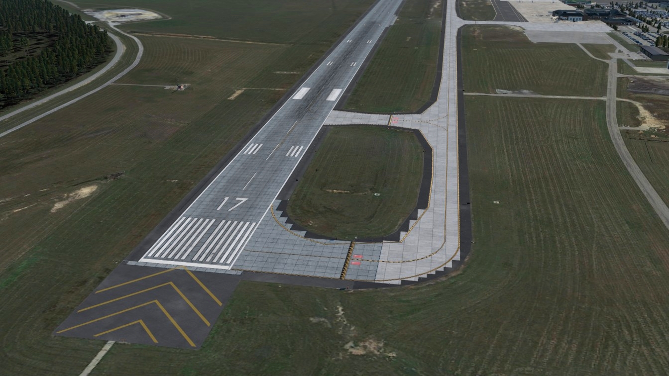
In 2000 Bush Field airport changed its name to Augusta Regional Airport. The airport opened a new passenger terminal in December 2007 and renovated the entire property, designed by the LPA Group. Augusta Regional Airport, served by American Eagle, Delta Air Lines, and Delta Connection, utilizes the phrase "Fly There, Fly Home" as part of their marketing. Lower fares at Augusta Regional Airport have increased passenger usage during the past two years. Augusta Regional Airport covers 1,411 acres (571 ha) at an elevation of 144 feet (44 m) above mean sea level. It has one concrete and one asphalt runway: 17/35, 8,000 × 150 feet (2,438 × 46 m) and 8/26, 6,001 × 75 feet (1,829 × 23 m). In the year ending June 30, 2017, the Augusta Regional airport had 28,543 aircraft operations, an average of 78 per day: 44% general aviation, 35% air taxi, 11% military and 10% scheduled commercial. 12 aircraft were then based at this airport: 2 single-engine, 4 multi-engine, 4 jet and 2 helicopter.
In early 2008, a typical day saw seven departures to Atlanta, GA on Bombardier CRJ-200 regional jets and ATR 72 turboprop aircraft by Delta Connection carriers, US Airways Express had seven departures to Charlotte, NC with turboprop Bombardier Dash 8-300s and Bombardier CRJ-200s. As of mid-2009, Delta Air Lines regional carrier Atlantic Southeast Airlines (ASA) no longer operates the ATR-72 turboprop aircraft, and all ExpressJet flights into and out of Augusta are 50-seat CRJ-200 regional jets. US Airways Express served the airport with Dash 8-300 turboprops and CRJ-200s. American Eagle ended flights to Augusta on January 31, 2012, but it returned to Augusta once parent airline American Airlines overtook US Airways Express' parent US Airways in 2015. Delta Air Lines has been flying to Augusta since May 2011 after an 11-year hiatus using the Boeing 717-200 aircraft flights to and from its hub in Atlanta. During the Masters golf tournament, traffic through Augusta soars.Airlines respond with more flights on larger equipment, including Delta Air Lines Boeing 737s and 757s. During 2009 Masters week, Embraer E-170s and CRJ-900s were common, but larger aircraft were also sent to Augusta. Delta does operate mainline aircraft to Augusta on a daily basis from their hub in nearby Atlanta. The presence of Fort Gordon in Augusta results in periodic military charter flights using widebody aircraft such as McDonnell Douglas MD-10 and McDonnell Douglas MD-11 trijet aircraft, in the past operated by World Airways.
Required Libraries:
RA Library
MisterX6
CDB Library
ZDP Library
Thank you all so much for the love and support. I really appreciate all the kinds words everyone has been giving us.
In the next update for this, please expect 3D grass, I just wanted to get the main version out to everyone so I can really ask the community on what they want. I really want to hear from you guys, so please be bluntly honest and please give feedback so I know what to fix!

CurtDeeeezy
Where can i find the ZDP Library? I cant find it on the xplane forums
TearWearDesigns 1 year(s) ago
Sorry for the late reply.
Search "ZDP library xplane" and it's the first thing that pops up.
Link here: https://forum.thresholdx.net/files/file/1987-zero-dollar-payware-library/
GridiroN
Scenery fails to load. Log claims it's missing a ton of files from various libraries that should be in it's root folder. "lib/vehicles/static/trucks", "lib/vegetation/trees", etc.
TearWearDesigns 1 year(s) ago
Are you on XP11 or 12?
GridiroN 1 year(s) ago
X-Plane 11. Is this a 12 only freeware?
TearWearDesigns 1 year(s) ago
That might be your problem.
Does it at least load? People on XP12 were reporting the same thing.
Full XP11 support will be coming though.
GridiroN 1 year(s) ago
It does not load at all. It throws up 5 errors and fails completely (X-Plane 11):
Failed to find resource 'lib/vehicles/static/trucks/semiTrailer_40ft_empty_01.obj',
Failed to find resource 'lib/vehicles/static/trucks/semiTrailer_40ft_08.obj',
Failed to find resource 'lib/vehicles/static/trucks/semiTrailer_40ft_03.obj'
Failed to find resource 'lib/industrial_area/containers/40ft/container_13a.obj'
Failed to find resource 'lib/vegetation/trees/coniferous/pine_big.for'
TearWearDesigns 1 year(s) ago
Yes, this is a common issue when using 11 on a x-plane 12 scenery. Give me some time and a fully supported 11 version will be coming to the market.
Bearviation
As I have learned from KALB... great work, team! I look forward to seeing more in the future.
TearWearDesigns 2 year(s) ago
Nice! KALB is a nice airport. Thank you so much! I really appreciate the kind words.
Here is the discord link: https://discord.gg/KtV3UEwe
Join if you want to see more stuff 😊